Train Map UK: the complete UK railway network on one interactive map
Every line and station in Great Britain and Northern Ireland, now with live trains moving across the network in real time. Search by postcode, station name, station code or line, and find your nearest stations in seconds. Free, fast and works on your phone.

What you can do
A simple search box and a tap-anywhere map. Everything works without an account; sign in only if you want to save stations and trains.
Search any way you like
Enter a postcode, a station name, a station code (CRS, e.g. PAD or YRK), or a line name like the West Coast Main Line, and the map flies straight to it.
Find your nearest stations
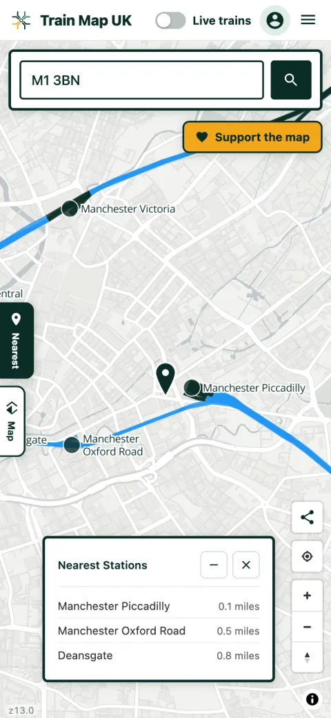
Drop a postcode or location and instantly see the three closest stations, with the distance to each.
Tap any station or line
Open a station for its live arrivals and departures, its cheapest fare and every station you can reach from it without changing. Tap a line to see its length, its stations and how many trains are on it right now.
Take the map home
Prints and mugs made from the map, and every order helps keep it free. See the shop →

See it in action
A quick look on a phone: search, tap a station, and switch on the layers you want.


What's on the map
The whole network is drawn from open data, not invented. Switch layers on and off in the Map panel.

Heavy rail
The full National Rail network, with bridges and tunnels colour-coded and principal tunnels and viaducts named.
Live trains
Real trains moving across the network in near real time, pointing their direction of travel and coloured by punctuality.
Heritage railways
Preserved and heritage lines, from the Swanage Railway to narrow-gauge lines, shown in their own colour and searchable.
London Underground
The Tube in its official line colours, with every Underground station, as an optional layer of its own.
Light rail & trams
Metros, trams and light rail across the country, plus the Glasgow Subway.
HS2
The route of the new high-speed railway and its stations, with sections under construction and cancelled ones shown distinctly.
Disused & former
Disused and abandoned lines, plus thousands of closed and former stations that no longer exist.
Explore by theme
Guides to the corners of the network enthusiasts love most. Each opens the map with that layer ready.
Nearest train station
Enter a postcode and see the three closest stations, with the distance to each.
Live train map
Watch real trains move around the network, coloured by how late they're running.
Direct trains from a station
Everywhere you can reach without changing, drawn as the actual lines your services run.
Rail freight statistics
How many freight trains run, what they're carrying and which quarries and docks they serve.
Rail passenger statistics
1.83 billion journeys a year, the most since 1920: who travels, how far, what it costs, and how many people are on a train right now.
Disused & abandoned lines
Britain's lost railways: the Beeching cuts and earlier closures, mapped.
Closed & former stations
Thousands of stations that no longer exist, each linked to its Wikipedia article.
Lost railways by county
Every closed station and every lost line in your county, on one page and on the map.
Heritage & preserved railways
Steam and narrow-gauge lines, shown in their own colour.
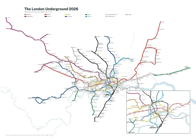
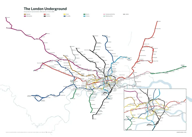
Geographic Tube map
The London Underground in real geography, in the official line colours.
UK railway stats
The network, counted up from the open data behind the map. See the full breakdown →