Find the lost station near you
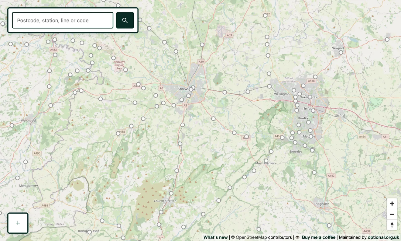
Switch on the Closed / former stations layer and the stations that no longer exist appear as hollow markers alongside today's network. Search a postcode, town or station name. When the layer is on you can search the former stations too, so typing “Box” takes you to the long-closed station at Box in Wiltshire, not just the one still open nearby.
Tap a station to read its story
Each former station links straight to its Wikipedia article where one exists, and to its location on Google Maps. It's a quick way to go from “there used to be a station here” to the full history of when it opened, who it served and why it closed.
Where the data comes from
The closed stations come from Wikidata, the open knowledge base behind Wikipedia. We take its record of British railway stations and keep the ones that are not within a few hundred metres of a station still in use, which surfaces genuinely closed stops, sometimes ones Wikidata itself hasn't formally flagged as closed.
Going deeper
Closed stations make most sense next to the disused and abandoned lines they once sat on. Switch both on to see the lost network in full. Many closed stations have since reopened as part of a heritage railway.