See the network that used to be
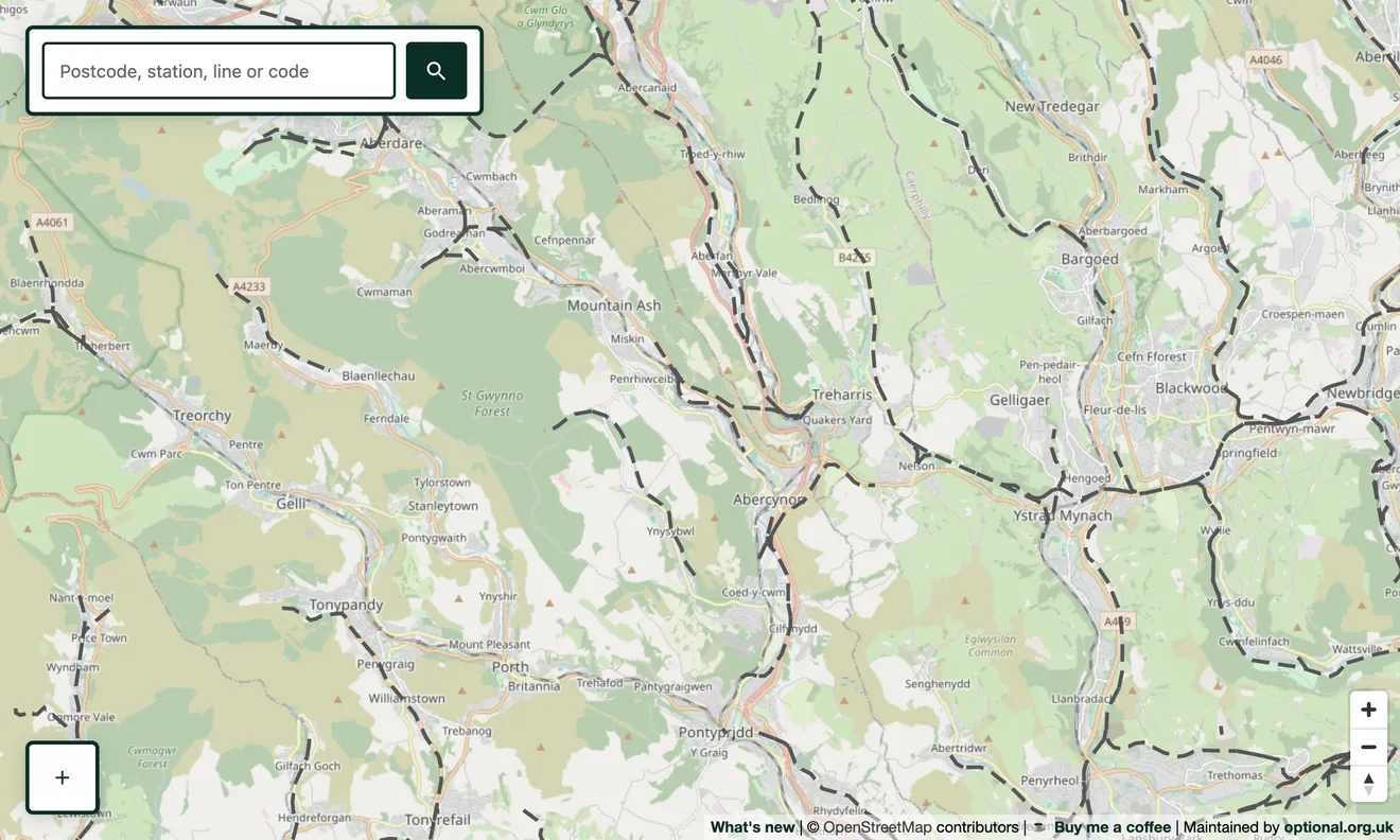
Switch on the Disused & abandoned layer and the closed network appears over today's railways, drawn as grey dashed lines. You can follow a line from a junction that still exists out to the village it once served, and see just how dense the pre-Beeching map really was.
To explore your own area, search a postcode or town, then turn the layer on. The trackbed of the line that used to run past you is often still there, as an embankment, cutting or footpath.
What counts as “disused”
The layer covers railways tagged in OpenStreetMap as disused, abandoned, razed or dismantled: everything from lines closed but still physically in place, to routes where the track was lifted long ago and only the alignment remains. Hover or tap a line to see its name where one is recorded.
Where the data comes from
Every line is taken straight from OpenStreetMap, mapped by people who have walked, surveyed and researched these routes. Nothing is invented or generated. It is the community's record of Britain's former railways, rendered on a single map.
Going deeper
Disused lines pair naturally with the closed and former stations layer. Switch both on to see the lost lines and the lost stops together. And where a closed line has been brought back to life, you'll find it on the heritage railways layer instead.