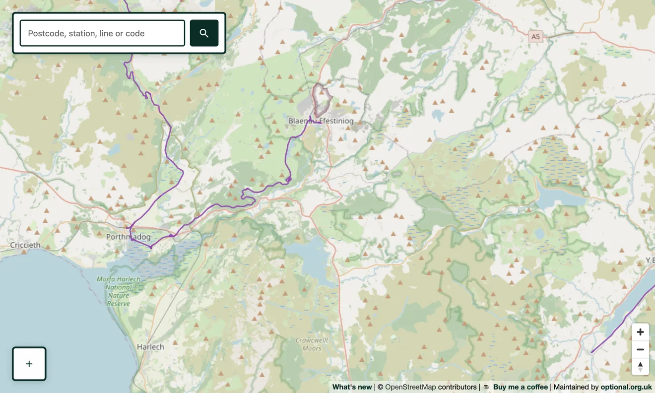
Heritage lines, in purple
Preserved railways are drawn in purple, distinct from today's green national network. Open the map with heritage lines highlighted and the standard network steps back, so lines like the Swanage Railway stand out clearly. You can also search a heritage line by name and the map will fly straight to it.
Full lines, not just fragments
Heritage railways are often tagged inconsistently, a running line here, a depot there, so a line can look broken on other maps. We propagate the heritage flag across every segment that shares a line's name, so a railway like Swanage shows in the heritage colour along its whole length rather than in patches. Narrow-gauge lines such as the Romney, Hythe & Dymchurch are included too.
Where the data comes from
Heritage lines come from OpenStreetMap, flagged where contributors have tagged a railway as preserved or as tourism/heritage use. As with the rest of the map, it is real surveyed data, not invented.
Going deeper
Many heritage railways are stretches of line that were once closed and abandoned before being reopened, and they often run through former stations that have been brought back to life. Switch those layers on to see the bigger picture.